FRA Safety Map Hacked?

Amtrak Unlimited Discussion Forum

Help Support Amtrak Unlimited Discussion Forum:

This site may earn a commission from merchant affiliate links, including eBay, Amazon, and others.

niemi24s

Engineer
Joined
Feb 11, 2015
Messages
3,111
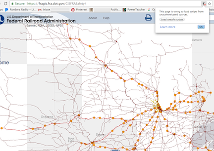
Can't get it... https://fragis.fra.dot.gov/GISFRASafety/ ...to do anything useful. The initial screen is a hodge-podge of map segments and a little icon appears in the address bar (in Chrome) that says when clicked "This page is trying to load scripts from unauthenticated sources". When its "Load unsafe scripts" is clicked, the US map appears but without any routes and the Map Contents menu is largely unresponsive.

But maybe it's just me or my PC. When working, the FRA map gives a good mapping of Amtrak routes on several different base maps with mileposts.

Anybody else able to get it to work?
 
It works correctly only on MS Internet Explorer as far as I can tell. It apparently uses some Microsoft specific Javascript extensions which neither Furefox, nor Chrome has.

I that is the case then shame on FRA for using a vendor specific implementation instead of using open standards.
 
Thanks for that info. With it, maybe my computer-savvy kids can find a fix for me.

Odd, though. I've been using Chrome for over a year and the FRA Map was just slow. But then a few days ago it seems to have gone belly up on me. Maybe my Chrome is out of date.

Q: Anybody with Chrome get the FRA map OK?
 
I think FRA did an "upgrade" of their site a few days back. Some of the version numbers on the Javascript that it is emanating appear to be new. But then again I may be wrong. I just took a cursory look and didn't dive in deep or anything like that.
 
Last edited by a moderator:
Here's what I saw on Chrome, it did take a verrrrrry long time to load all the squares and layers.

dZSQ566.png
 
It works correctly only on MS Internet Explorer as far as I can tell. It apparently uses some Microsoft specific Javascript extensions which neither Furefox, nor Chrome has.

I that is the case then shame on FRA for using a vendor specific implementation instead of using open standards.
For post #2 I had used Google Chrome.
 
After an excruciatingly long wait I finally got the routes, but the background map (like yours) was all messed up. Your screen shot shows Lake Superior in the bottom right corner and Bismarck (ND?) in the top right corner. But after (long after) allowing the unauthorized sources to be used, the background map fiiiinally got corrected and the layers too (in Chrome with the latest updates installed). Hooray!!!

What an agonizing process that was.

If the folks at FRA use this map as a tool and have these same problems, small wonder the South Of The Lake project is taking so long as Neroden mentioned elsewhere!
 
Last edited by a moderator:
It works correctly only on MS Internet Explorer as far as I can tell. It apparently uses some Microsoft specific Javascript extensions which neither Furefox, nor Chrome has.

I that is the case then shame on FRA for using a vendor specific implementation instead of using open standards.
For post #2 I had used Google Chrome.
It takes excruciatingly long even over a Gigabit connection, which indicates that the synchronization between the network layer and the app layer is broken, most likely at the client end. It does work flawlessly with IE in a flash, as expected on a fast network. Hence my surmise. But one cannot be fully sure without further digging into it.
 
Back
Top